TerraOptics: Shaping the Future of 3D Modeling with Advanced Drone Technology

The growing demand for rapid, accurate, and cost-effective data acquisition has led to significant advancements in technology—foremost among them, the marriage of drone technology with 3D modeling. Enter TerraOptics, an industry leader redefining the standards of 3D modeling through innovative drone-based solutions. By seamlessly integrating state-of-the-art sUAVs (Small Unmanned Aerial Vehicles) and sophisticated modeling software, TerraOptics delivers a level of detail, accuracy, and efficiency unmatched in the industry.

A high-resolution image of a construction site being surveyed by a drone, showcasing the detailed data capture for 3D modeling.
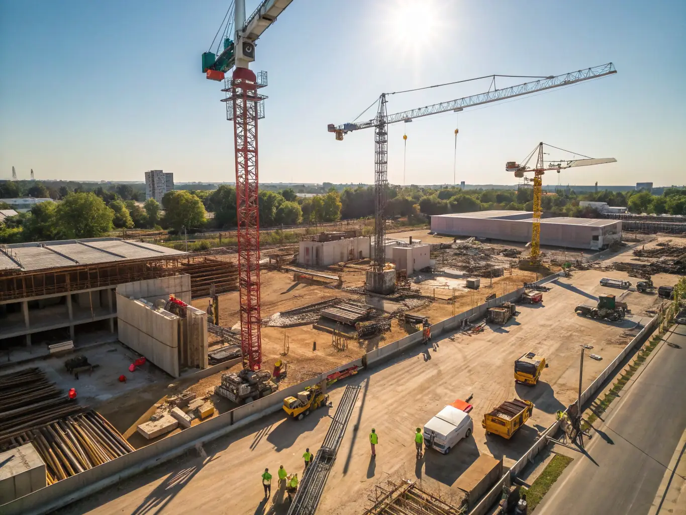
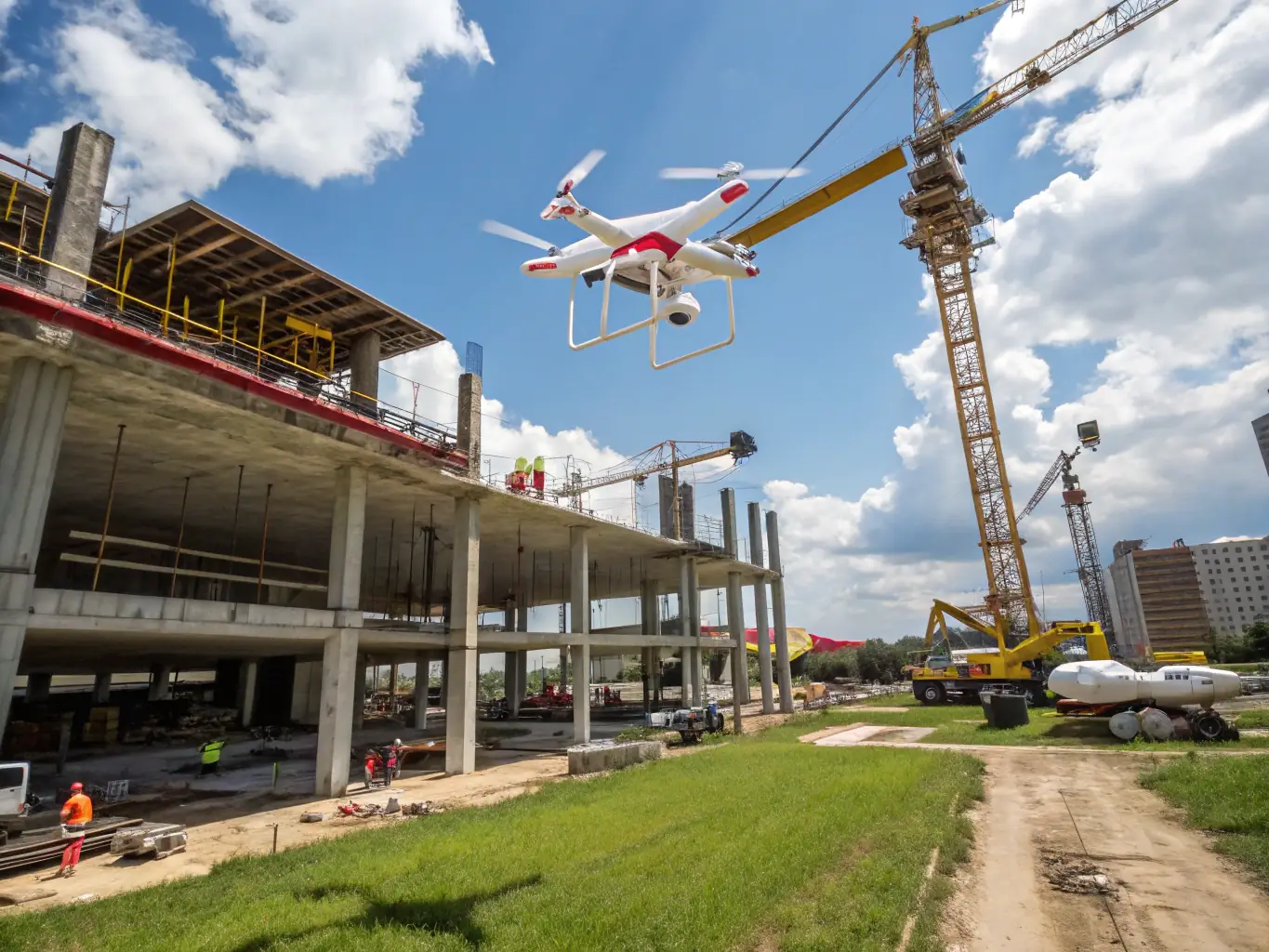
Construction Site Modeling
Achieve precise construction site models with our drone services, enhancing project planning and monitoring. Our technology ensures accuracy and efficiency.
An aerial view of a building being inspected by a drone, highlighting the ability to capture detailed imagery for 3D model creation.
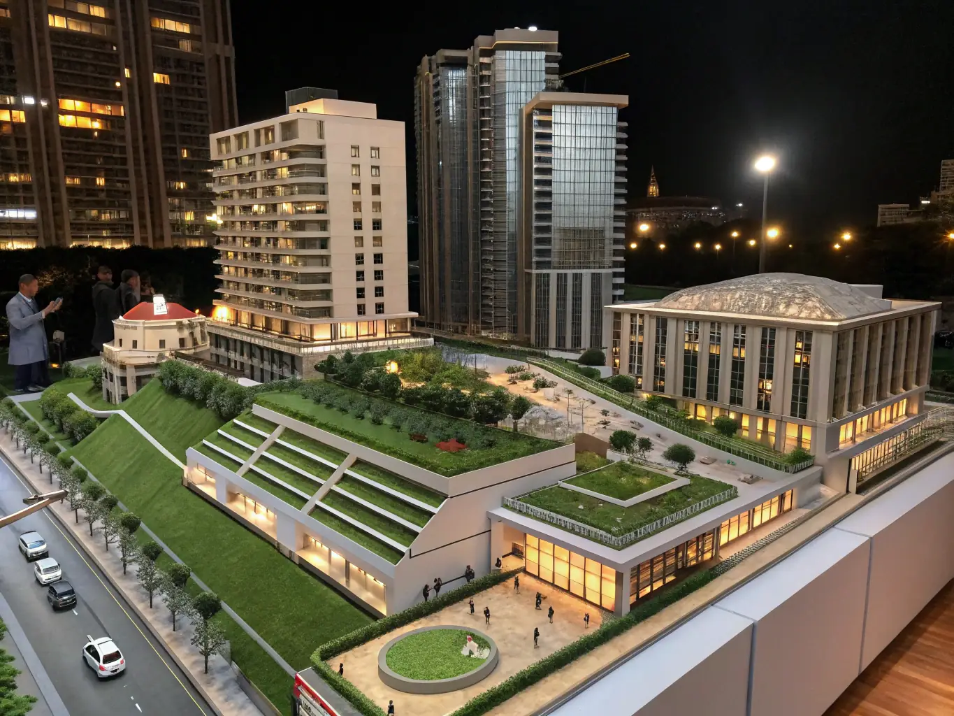
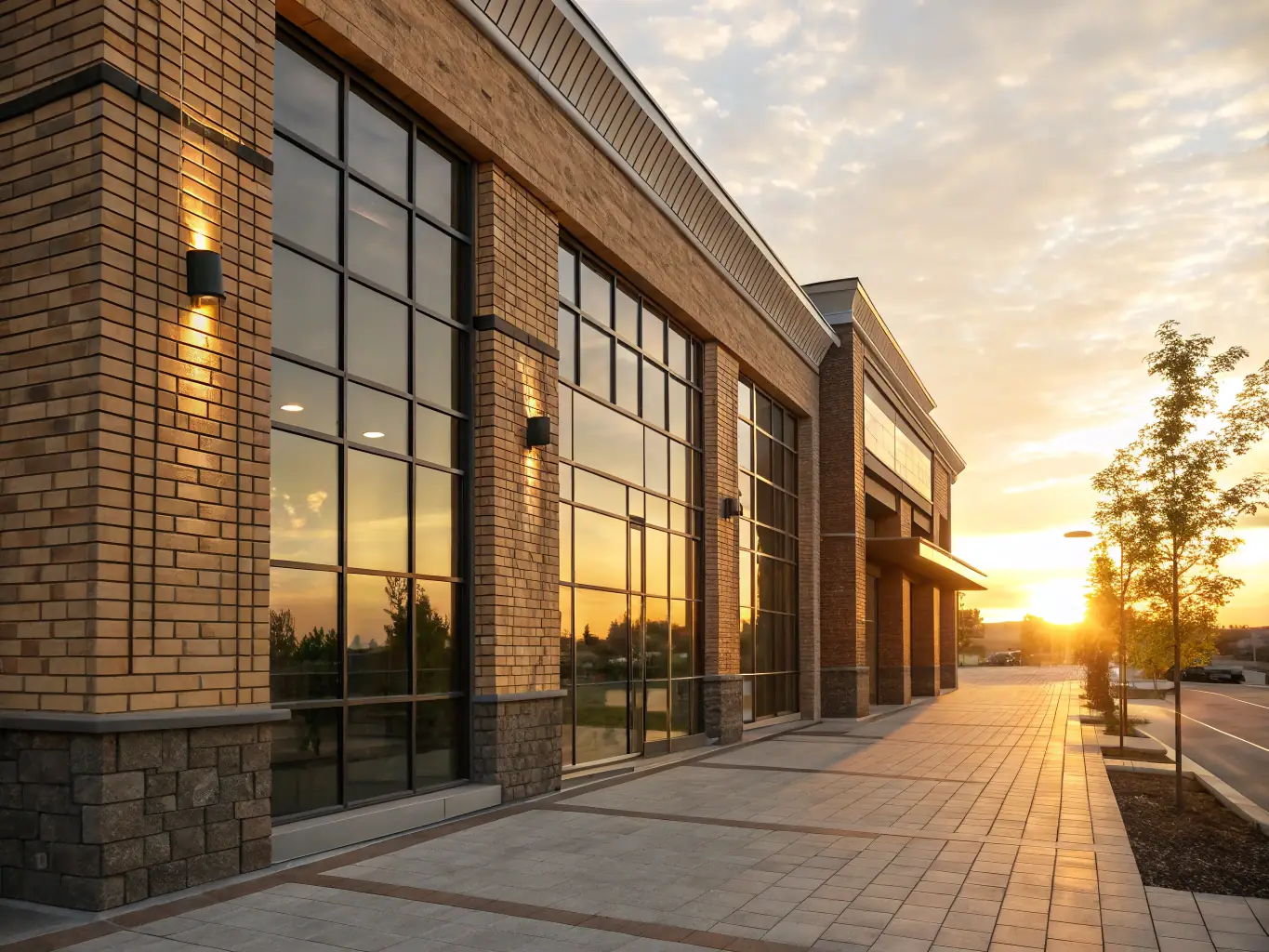
Building Inspection Solutions
Leverage our drone-based building inspection services for detailed 3D models, aiding in maintenance planning and renovation projects with precision.
A drone equipped with advanced sensors flying over a search area, illustrating its role in creating 3D models for search and rescue operations.
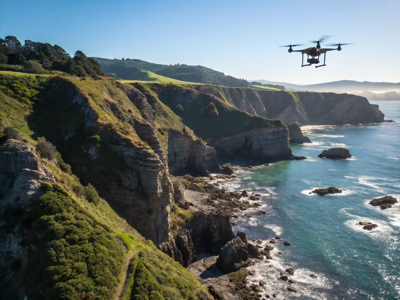
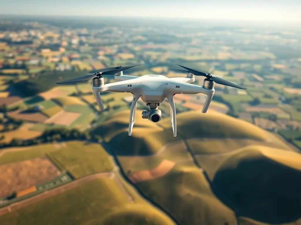
Search and Rescue Support
Utilize our drone imaging and 3D modeling for search and rescue, providing accurate terrain mapping and victim localization, enhancing mission effectiveness.
 
TerrraOptics’ 3D Drone Technology

The backbone of TerraOptics’ services lies in our advanced drones, each equipped with high-resolution cameras, LiDAR sensors, and thermal imaging capabilities. These drones are capable of capturing millions of data points in a single flight, covering vast and difficult-to-reach terrains with ease. By employing advanced flight algorithms and real-time GPS tracking, we ensure every mission is executed with meticulous accuracy.

Precision Sensors and Data Collection

A key differentiator is our investment in precision sensors. High-definition cameras allow for detailed photogrammetry, while LiDAR scanners penetrate dense vegetation and measure minute variations in elevation and structure. This multi-layered data acquisition enables TerraOptics to create 3D models with centimeter-level accuracy—far surpassing traditional surveying methods.

Automated Workflows and Rapid Turnaround

Through automated flight planning and data processing pipelines, our clients benefit from fast project initiation and completion. Terrain analysis, site surveys, and volumetric measurements are delivered in a fraction of the time, enabling businesses to act quickly on the insights we provide.

Real-World Examples

See Our Work in Action

Explore real drone projects demonstrating TerraOptics’ advanced 3D modeling and imaging capabilities.
Construction Site 3D Models
High-precision 3D models of construction sites created using advanced drone technology, aiding in project planning and monitoring.
Rescue & Terrain Mapping
Drone-captured imagery and 3D terrain maps used in rescue scenarios, providing critical situational awareness and victim localization.
Building Inspection & 3D Modeling
Detailed 3D models of buildings created for inspection, maintenance, and renovation, showcasing TerraOptics’ precision.
The Future is with TerraOptics:

The future of 3D modeling is here today. Whether you’re building, planning, exploring, or protecting, TerraOptics empowers you with data-driven insights and digital models that illuminate every detail. Let us show you how advanced drone technology can unlock new possibilities for your business or organization.

Contact TerraOptics to experience the next generation of 3D modeling solutions—where accuracy, efficiency, and innovation converge to deliver extraordinary results.