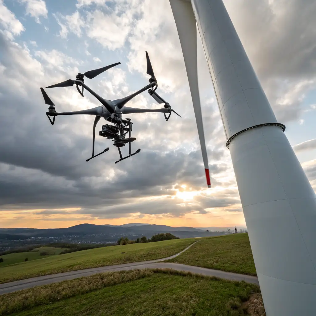
Shaping The World With Precision

TerraOptics, a Service-Disabled Veteran-Owned Drone Services Company, delivers cutting-edge drone services, leveraging advanced technologies from the defense sector for Inspections, 3D Modeling, Search & Rescue with Thermal Imaging and various Agriculture solutions. We provide precise aerial and ground solutions that enhance efficiency and safety for our clients. Contact us to elevate your perspective.

About TerraOptics

TerraOptics was founded based on the services of a defense company previously owned by our founder, Mr. Corey Martin. In his previous business, MartinFederal (www.martinfed.com), Mr. Martin provided 3D Modeling, Situational Awareness and LiDAR services to the DoD and Federal Agencies as a biproduct of several Critical Infrastructure (CI) contracts. After being acquired, he realized that those services could greatly assist the private sector with increasing efficiencies and cost savings. 

The technology we use here at TerraOptics is in the forefront of the Drone industry and we use the most pioneering optics, software and sensors, also known as payloads. Our Drones are equipped with centimeter level GPS’s that provide the most accuracy and precision in positioning.

Note: TerraOptics’ Mission Planners/Project Managers have all managed large scale Critical Infrastructure (CI) projects for the Department of Defense (DoD) and Federal Government. We are extremely attuned to timelines, budgets and timely deliverables. Our Planners and PM’s are also all PMP Certified.

Aerial Inspections
High-resolution imagery reduces inspection time and costs. Enhances safety by minimizing human risk. Provides accurate data for maintenance and planning.
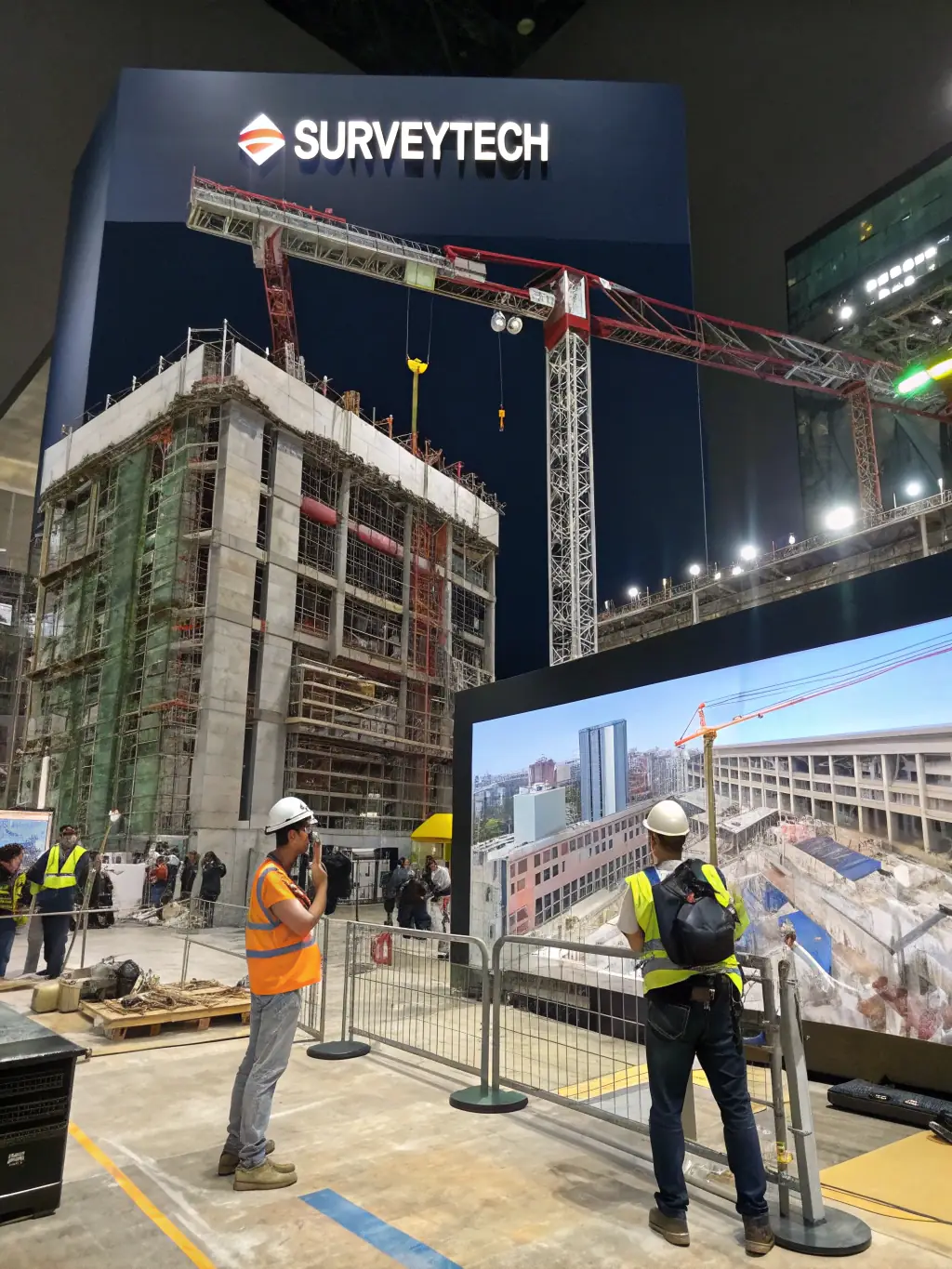
A 3D model rendering of a construction site generated from drone data, illustrating TerraOptics' 3D modeling and mapping services.
3D Modeling
Accurate spatial data supports planning and visualization. Facilitates progress tracking and documentation. Enables virtual walkthroughs and simulations.

Search and Rescue
Rapid deployment in emergency situations allows access to hard-to-reach areas. Enhanced detection capabilities with thermal imaging supports timely rescue efforts.
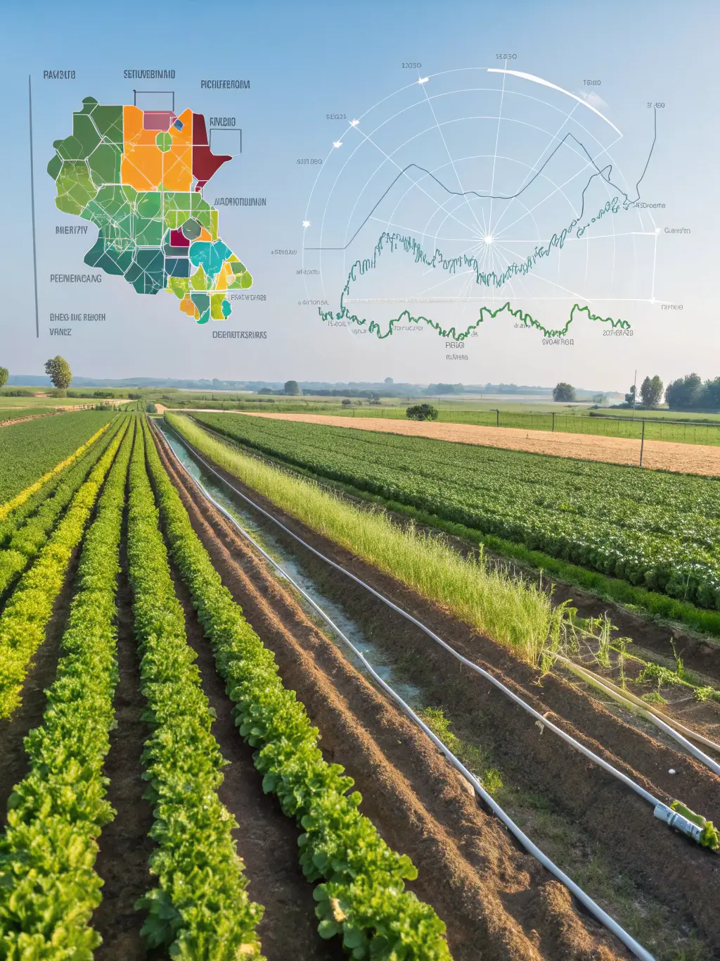
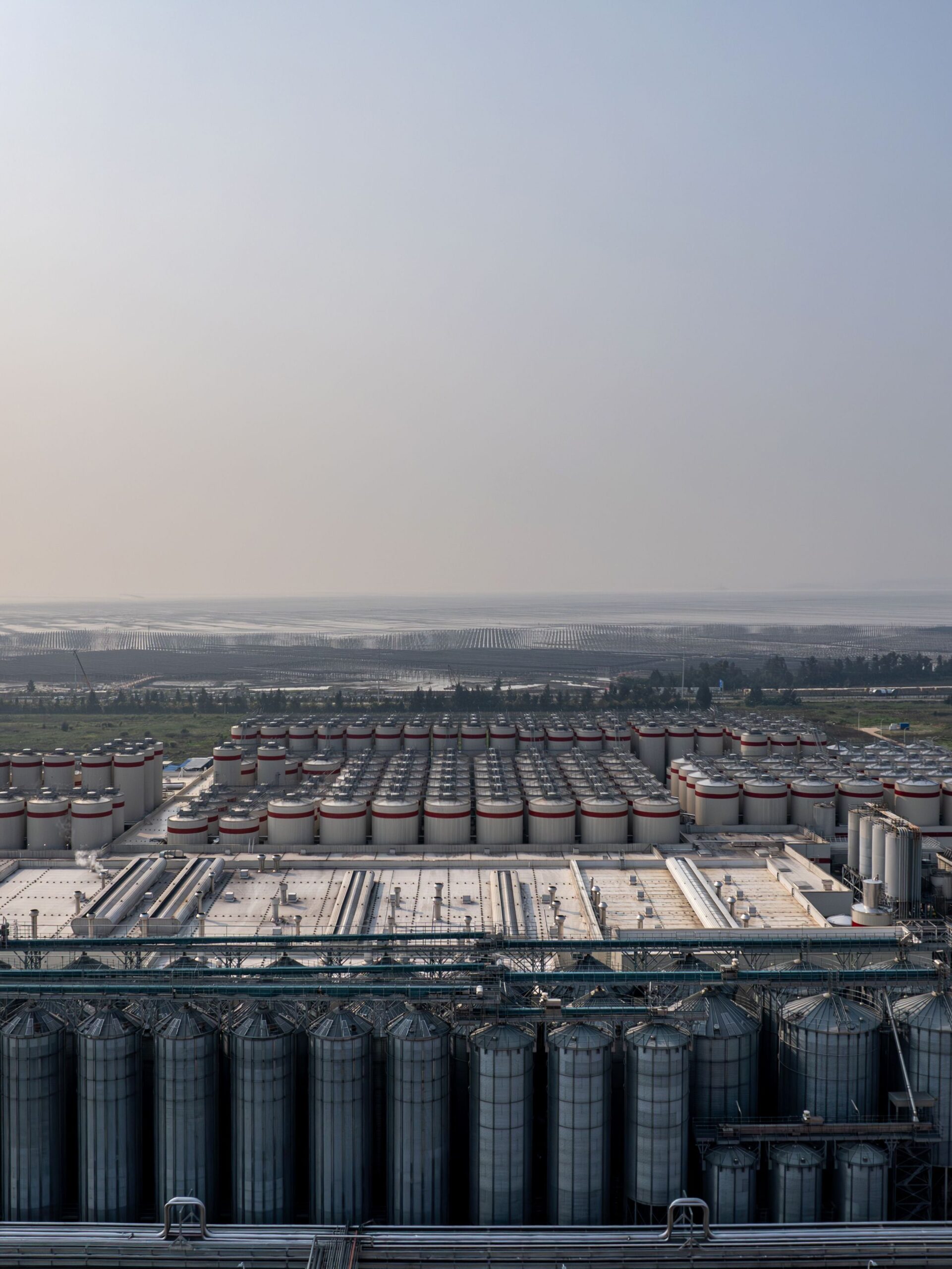
Agriculture Monitoring
Early detection of environmental issues supports sustainable agriculture and land management. Provides comprehensive environmental data and assists in agricultural planning.